Geolocate

Crick topographic map

Click on the map to display elevation.

About this map

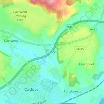
Name: Crick topographic map, elevation, terrain.

Location: Crick, Monmouthshire, Wales, NP26 5UW, United Kingdom (51.58569 -2.75891 51.62569 -2.71891)

Average elevation: 95 ft

Minimum elevation: 0 ft

Maximum elevation: 351 ft

Gear up for your next adventure:

🧢Outdoor Hiking Hat - Sun protection hat for outdoor explorers
🛰️Satellite Messengers - Emergency SOS and two-way messaging for off-grid adventures
🪵Folding Camp Saw - Compact saw for wood and campsite work
📦Dry Bags Set - Waterproof storage for electronics and clothes
🚗GPS Dash Cams - Record your scenic drives through mountain passes and canyons

As an Amazon Associate, this site earns from qualifying purchases at no extra cost to you.