Geolocate

Devil's Cay topographic map

Click on the map to display elevation.

About this map

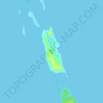
Name: Devil's Cay topographic map, elevation, terrain.

Location: Devil's Cay, Berry Islands, Bahamas (25.59341 -77.73159 25.60687 -77.72372)

Average elevation: 3 ft

Minimum elevation: 0 ft

Maximum elevation: 56 ft

Gear up for your next adventure:

🪶Camping Sleeping Pad - Comfortable sleeping pad for backpacking
🛏️Cold Weather Sleeping Bag - Warm sleeping bag for cold conditions
🗺️NatGeo Topo Maps - High-quality waterproof printed topographic maps of US Parks
🪵Folding Camp Saw - Compact saw for wood and campsite work
🔥Camping Stove - Portable stove for camping and backcountry cooking

As an Amazon Associate, this site earns from qualifying purchases at no extra cost to you.