
Kigoma topographic map
Interactive map
Click on the map to display elevation.
About this map
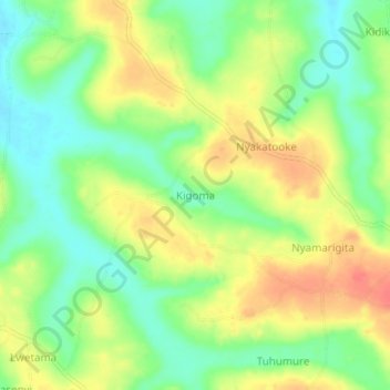
Name: Kigoma topographic map, elevation, terrain.
Location: Kigoma, Kibaale, Western Region, Ouganda (1.13000 31.14667 1.17000 31.18667)
Average elevation: 3,642 ft
Minimum elevation: 3,550 ft
Maximum elevation: 3,747 ft