
Bördeaue topographic map
Interactive map
Click on the map to display elevation.
About this map
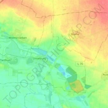
Name: Bördeaue topographic map, elevation, terrain.
Location: Bördeaue, Egelner Mulde, Salzlandkreis, Saxe-Anhalt, Allemagne (51.90601 11.43938 51.96406 11.57033)
Average elevation: 269 ft
Minimum elevation: 194 ft
Maximum elevation: 371 ft