
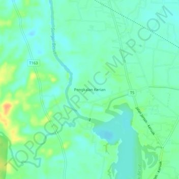
Pengkalan Kerian topographic map
Interactive map
Click on the map to display elevation.
About this map
Name: Pengkalan Kerian topographic map, elevation, terrain.
Location: Pengkalan Kerian, Pasir Akar, Besut, Terengganu, Malaysia (5.65863 102.46623 5.69863 102.50623)
Average elevation: 56 ft
Minimum elevation: 20 ft
Maximum elevation: 135 ft