
Woden topographic map
Interactive map
Click on the map to display elevation.
About this map
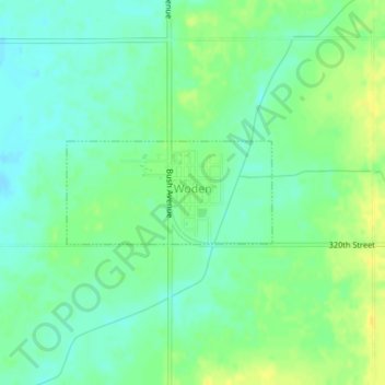
Name: Woden topographic map, elevation, terrain.
Location: Woden, Hancock County, Iowa, United States of America (43.22716 -93.92129 43.23443 -93.90148)
Average elevation: 1,224 ft
Minimum elevation: 1,191 ft
Maximum elevation: 1,263 ft