
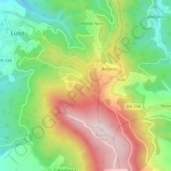
Mata Nacional do Buçaco topographic map
Interactive map
Click on the map to display elevation.
About this map
Name: Mata Nacional do Buçaco topographic map, elevation, terrain.
Location: Mata Nacional do Buçaco, Luso, Mealhada, Aveiro, Portugal (40.36903 -8.37687 40.38211 -8.35891)
Average elevation: 1,096 ft
Minimum elevation: 499 ft
Maximum elevation: 1,854 ft