
Monteleone di Spoleto topographic map
Interactive map
Click on the map to display elevation.
About this map
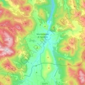
Name: Monteleone di Spoleto topographic map, elevation, terrain.
Location: Monteleone di Spoleto, Perugia, Umbria, 06045, Italia (42.60386 12.88431 42.68182 13.01897)
Average elevation: 3,533 ft
Minimum elevation: 2,336 ft
Maximum elevation: 5,377 ft