
Gaona topographic map
Interactive map
Click on the map to display elevation.
About this map
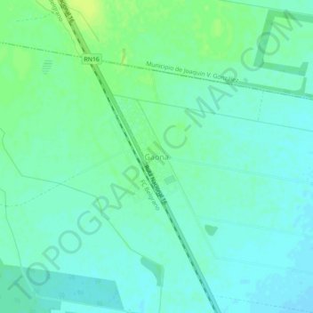
Name: Gaona topographic map, elevation, terrain.
Location: Gaona, Municipio de El Quebrachal, Anta, Salta, Argentina (-25.26138 -64.05716 -25.22138 -64.01716)
Average elevation: 1,161 ft
Minimum elevation: 1,142 ft
Maximum elevation: 1,188 ft