
Lokoja topographic map
Interactive map
Click on the map to display elevation.
About this map
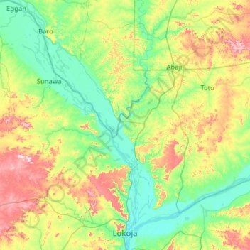
Name: Lokoja topographic map, elevation, terrain.
Location: Lokoja, Kogi, Nigeria (7.73033 6.11312 8.73879 6.79215)
Average elevation: 545 ft
Minimum elevation: 108 ft
Maximum elevation: 1,860 ft