
Hatundere Mahallesi topographic map
Interactive map
Click on the map to display elevation.
About this map
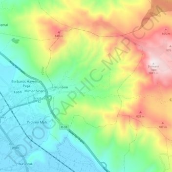
Name: Hatundere Mahallesi topographic map, elevation, terrain.
Location: Hatundere Mahallesi, Menemen, Izmir, Aegean Region, Turkey (38.67440 26.99265 38.72961 27.09710)
Average elevation: 1,299 ft
Minimum elevation: 13 ft
Maximum elevation: 3,563 ft