
Sonipat topographic map
Interactive map
Click on the map to display elevation.
About this map
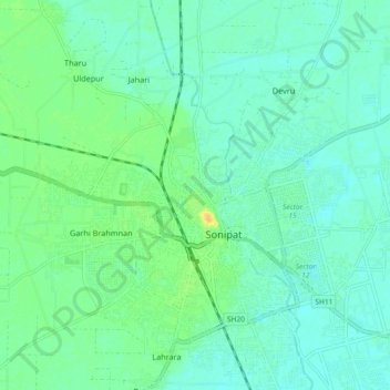
Name: Sonipat topographic map, elevation, terrain.
Location: Sonipat, Sonipat District, Haryana, 131001, India (28.83538 76.86336 29.15538 77.18336)
Average elevation: 728 ft
Minimum elevation: 673 ft
Maximum elevation: 784 ft
Other topographic maps
Click on a map to view its topography, its elevation and its terrain.