
BADILLO topographic map
Interactive map
Click on the map to display elevation.
About this map
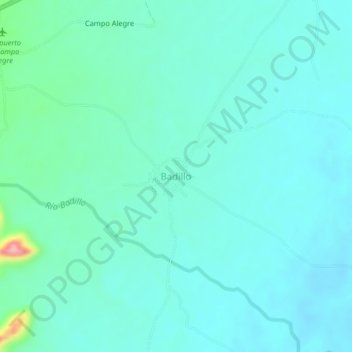
Name: BADILLO topographic map, elevation, terrain.
Location: BADILLO, Valledupar, Cesar, Colombia (10.61112 -73.14798 10.65112 -73.10798)
Average elevation: 587 ft
Minimum elevation: 512 ft
Maximum elevation: 988 ft