
Mollieres topographic map
Interactive map
Click on the map to display elevation.
About this map
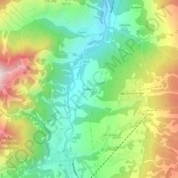
Name: Mollieres topographic map, elevation, terrain.
Location: Mollieres, Césane, Turin, Piémont, Italie (44.94855 6.78041 44.98855 6.82041)
Average elevation: 5,203 ft
Minimum elevation: 3,970 ft
Maximum elevation: 7,182 ft