
Banjarsari topographic map
Interactive map
Click on the map to display elevation.
About this map
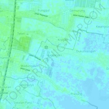
Name: Banjarsari topographic map, elevation, terrain.
Location: Banjarsari, Buduran, Sidoarjo, 61252, Indonesia (-7.43481 112.72209 -7.39481 112.76209)
Average elevation: 10 ft
Minimum elevation: -10 ft
Maximum elevation: 23 ft