
Fremersdorf topographic map
Interactive map
Click on the map to display elevation.
About this map
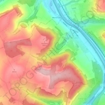
Name: Fremersdorf topographic map, elevation, terrain.
Average elevation: 902 ft
Minimum elevation: 545 ft
Maximum elevation: 1,217 ft
Other topographic maps
Click on a map to view its topography, its elevation and its terrain.
Eimersdorf
Deutschland > Saarland > Rehlingen-Siersburg
Eimersdorf, Rehlingen-Siersburg, Landkreis Saarlouis, Saarland, 66780, Deutschland
Average elevation: 869 ft