
taho topographic map
Interactive map
Click on the map to display elevation.
About this map
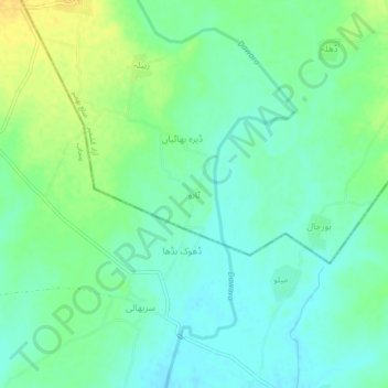
Name: taho topographic map, elevation, terrain.
Location: taho, Bhimber District, Pakistan (32.76241 74.31981 32.80241 74.35981)
Average elevation: 925 ft
Minimum elevation: 892 ft
Maximum elevation: 974 ft