Geolocate

Vanzant topographic map

Click on the map to display elevation.

About this map

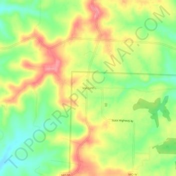
Name: Vanzant topographic map, elevation, terrain.

Location: Vanzant, Douglas County, Missouri, United States (36.94978 -92.32294 36.98978 -92.28294)

Average elevation: 1,155 ft

Minimum elevation: 1,014 ft

Maximum elevation: 1,296 ft

Douglas County trails, hiking, mountain biking, running and outdoor activities

Gear up for your next adventure:

🖼️Topo Map Wall Art - Decorative topographic prints of famous peaks and regions
🎁Geography Themed Gifts - Unique gift ideas for map lovers and geography enthusiasts
🥘Titanium Cookware - Durable, featherlight pots and pans for backpacking
🩹Survival Bandages - High‑quality bandages for emergencies
📷Action Camera - Capture your outdoor adventures in HD

As an Amazon Associate, this site earns from qualifying purchases at no extra cost to you.