
Zeeland topographic map
Interactive map
Click on the map to display elevation.
About this map
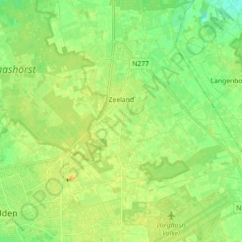
Name: Zeeland topographic map, elevation, terrain.
Location: Zeeland, Landerd, Nordbrabant, Niederlande (51.65006 5.62258 51.72569 5.74255)
Average elevation: 66 ft
Minimum elevation: 30 ft
Maximum elevation: 95 ft
Other topographic maps
Click on a map to view its topography, its elevation and its terrain.