
Carver Subdivision topographic map
Interactive map
Click on the map to display elevation.
About this map
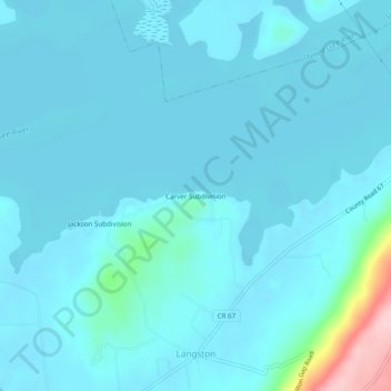
Name: Carver Subdivision topographic map, elevation, terrain.
Location: Carver Subdivision, Jackson County, Alabama, 35769, USA (34.53509 -86.09442 34.57509 -86.05442)
Average elevation: 646 ft
Minimum elevation: 577 ft
Maximum elevation: 1,306 ft