
North Eldred topographic map
Interactive map
Click on the map to display elevation.
About this map
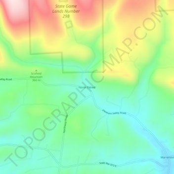
Name: North Eldred topographic map, elevation, terrain.
Location: North Eldred, Lycoming County, Pennsylvania, USA (41.32258 -76.99052 41.36258 -76.95052)
Average elevation: 1,132 ft
Minimum elevation: 702 ft
Maximum elevation: 1,906 ft