
Deerfold topographic map
Interactive map
Click on the map to display elevation.
About this map
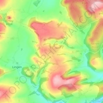
Name: Deerfold topographic map, elevation, terrain.
Average elevation: 633 ft
Minimum elevation: 371 ft
Maximum elevation: 942 ft
Other topographic maps
Click on a map to view its topography, its elevation and its terrain.
Wigmore
United Kingdom > England > Herefordshire > Wigmore
Wigmore, Herefordshire, West Midlands, England, United Kingdom
Average elevation: 548 ft