
Huando topographic map
Interactive map
Click on the map to display elevation.
About this map
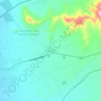
Name: Huando topographic map, elevation, terrain.
Location: Huando, Huaral, Lima, Perú (-11.50599 -77.20112 -11.46599 -77.16112)
Average elevation: 791 ft
Minimum elevation: 604 ft
Maximum elevation: 1,542 ft