
Harbour Breton topographic map
Interactive map
Click on the map to display elevation.
About this map
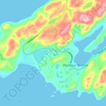
Name: Harbour Breton topographic map, elevation, terrain.
Location: Harbour Breton, Newfoundland and Labrador, Canada (47.45538 -55.86219 47.49747 -55.79248)
Average elevation: 180 ft
Minimum elevation: 0 ft
Maximum elevation: 692 ft