
Lugan Bas topographic map
Interactive map
Click on the map to display elevation.
About this map
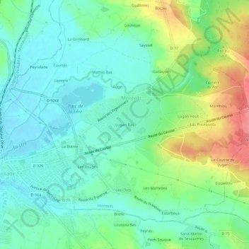
Name: Lugan Bas topographic map, elevation, terrain.
Average elevation: 440 ft
Minimum elevation: 354 ft
Maximum elevation: 627 ft
Other topographic maps
Click on a map to view its topography, its elevation and its terrain.
La Biasse
France > Occitanie > Tarn-et-Garonne > Monteils
La Biasse, Monteils, Montauban, Tarn-et-Garonne, Occitanie, France métropolitaine, 82300, France
Average elevation: 413 ft