
Lijnden topographic map
Interactive map
Click on the map to display elevation.
About this map
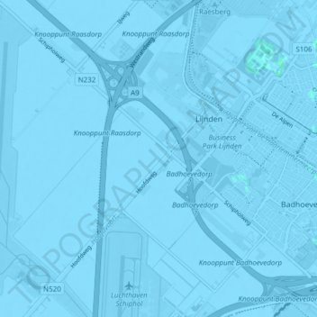
Name: Lijnden topographic map, elevation, terrain.
Location: Lijnden, Haarlemmermeer, Noord-Holland, Nederland (52.32227 4.71382 52.36871 4.77330)
Average elevation: -10 ft
Minimum elevation: -23 ft
Maximum elevation: 7 ft