
Rujm al Shumaysani topographic map
Interactive map
Click on the map to display elevation.
About this map
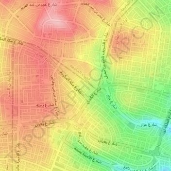
Name: Rujm al Shumaysani topographic map, elevation, terrain.
Average elevation: 3,133 ft
Minimum elevation: 2,841 ft
Maximum elevation: 3,330 ft
Other topographic maps
Click on a map to view its topography, its elevation and its terrain.
Housing Bank Garden
Jordan > Amman > Amman Sub-District > Amman
Housing Bank Garden, Southern Abdoun, Amman, Amman Sub-District, Amman Qasabah District, Amman, Jordan
Average elevation: 2,946 ft
Abdoun
Jordan > Amman > Amman Sub-District > Amman
Abdoun, منطقة زهران, Amman, Amman Sub-District, Amman Qasabah District, Amman, 11181, Jordan
Average elevation: 2,940 ft