
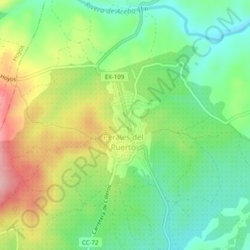
Perales del Puerto topographic map
Interactive map
Click on the map to display elevation.
About this map
Name: Perales del Puerto topographic map, elevation, terrain.
Location: Perales del Puerto, Cáceres, Estrémadure, Espagne (40.15153 -6.68379 40.16138 -6.67896)
Average elevation: 1,371 ft
Minimum elevation: 1,155 ft
Maximum elevation: 1,703 ft