
Bahi topographic map
Interactive map
Click on the map to display elevation.
About this map
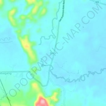
Name: Bahi topographic map, elevation, terrain.
Location: Bahi, Surigao del Sur, Caraga, Philippines (8.49351 126.02416 8.53351 126.06416)
Average elevation: 197 ft
Minimum elevation: 128 ft
Maximum elevation: 666 ft