Geolocate

Bellevue topographic map

Click on the map to display elevation.

About this map

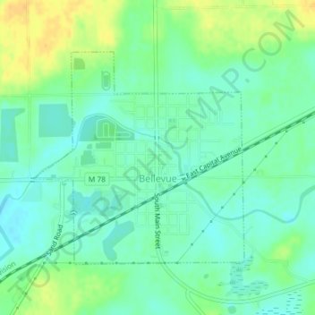
Name: Bellevue topographic map, elevation, terrain.

Location: Bellevue, Bellevue Township, Eaton County, Michigan, United States (42.43640 -85.03240 42.45462 -85.00797)

Average elevation: 876 ft

Minimum elevation: 840 ft

Maximum elevation: 938 ft

Eaton County trails, hiking, mountain biking, running and outdoor activities

Other topographic maps

Click on a map to view its topography, its elevation and its terrain.

West Windsor

United States > Michigan > Eaton County

Average elevation: 909 ft

Gear up for your next adventure:

🍳Camping Cook Set - Complete cookware for outdoor meals
🌡️Handheld Weather Meters - Measure wind, temp, and pressure for safe mountain travel
🧢Sun Protection Hats - Wide-brimmed and UPF-rated hats for high-altitude sun safety
🪶Multi‑Purpose Knife - Useful blade for camp and trail
🪶Paracord Bracelet - Survival bracelet with built‑in tools

As an Amazon Associate, this site earns from qualifying purchases at no extra cost to you.