
Guzet-Neige Prat Mataou topographic map
Interactive map
Click on the map to display elevation.
About this map
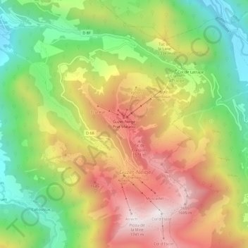
Name: Guzet-Neige Prat Mataou topographic map, elevation, terrain.
Average elevation: 3,917 ft
Minimum elevation: 2,300 ft
Maximum elevation: 5,705 ft