
Huludao topographic map
Interactive map
Click on the map to display elevation.
About this map
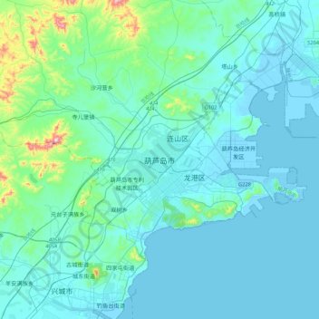
Name: Huludao topographic map, elevation, terrain.
Location: Huludao, 连山区, 葫芦岛市, Liaoning, Chine (40.59154 120.68048 40.91154 121.00048)
Average elevation: 167 ft
Minimum elevation: -20 ft
Maximum elevation: 1,598 ft