
Robertsbridge topographic map
Interactive map
Click on the map to display elevation.
About this map
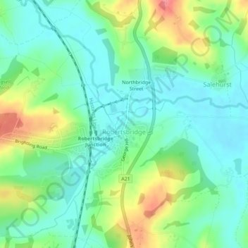
Name: Robertsbridge topographic map, elevation, terrain.
Location: Robertsbridge, East Sussex, South East, England, United Kingdom (50.98038 0.44633 50.99257 0.47909)
Average elevation: 98 ft
Minimum elevation: 16 ft
Maximum elevation: 272 ft