
A May topographic map
Interactive map
Click on the map to display elevation.
About this map
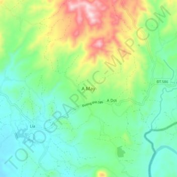
Name: A May topographic map, elevation, terrain.
Location: A May, Hướng Hóa District, Quang Tri province, Vietnam (16.44821 106.70386 16.52821 106.78386)
Average elevation: 1,204 ft
Minimum elevation: 709 ft
Maximum elevation: 2,356 ft