
Watchee topographic map
Interactive map
Click on the map to display elevation.
About this map
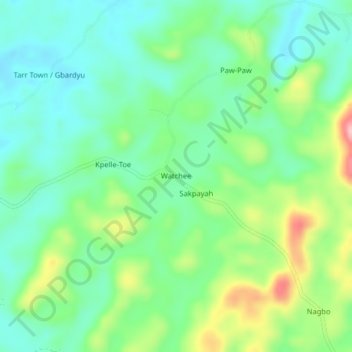
Name: Watchee topographic map, elevation, terrain.
Location: Watchee, District # 3, Grand Bassa County, Liberia (6.43811 -9.51356 6.47811 -9.47356)
Average elevation: 712 ft
Minimum elevation: 541 ft
Maximum elevation: 1,096 ft