
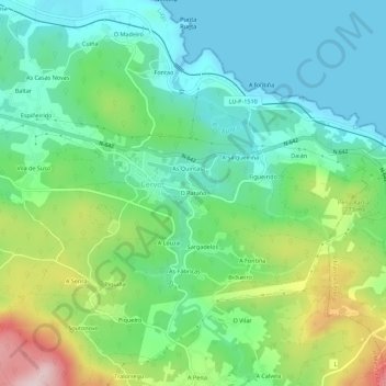
O Paraño topographic map
Interactive map
Click on the map to display elevation.
About this map
Name: O Paraño topographic map, elevation, terrain.
Location: O Paraño, Mariña Occidental, Lugo, Galicia, 27891, España (43.64879 -7.42350 43.68879 -7.38350)
Average elevation: 328 ft
Minimum elevation: 0 ft
Maximum elevation: 1,096 ft
Other topographic maps
Click on a map to view its topography, its elevation and its terrain.