
Río Ozama topographic map
Interactive map
Click on the map to display elevation.
About this map
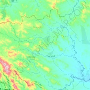
Name: Río Ozama topographic map, elevation, terrain.
Location: Río Ozama, Monte Plata, 11096, República Dominicana (18.51592 -70.21305 18.85928 -69.78610)
Average elevation: 279 ft
Minimum elevation: -3 ft
Maximum elevation: 2,530 ft