
Hadmersleben topographic map
Interactive map
Click on the map to display elevation.
About this map
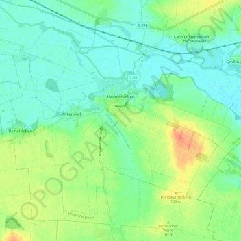
Name: Hadmersleben topographic map, elevation, terrain.
Location: Hadmersleben, Oschersleben, Börde, Sachsen-Anhalt, Deutschland (51.95799 11.26327 52.01357 11.37964)
Average elevation: 285 ft
Minimum elevation: 236 ft
Maximum elevation: 384 ft