
Lustre topographic map
Interactive map
Click on the map to display elevation.
About this map
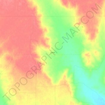
Name: Lustre topographic map, elevation, terrain.
Location: Lustre, Valley County, Montana, United States of America (48.37336 -105.90223 48.41336 -105.86223)
Average elevation: 2,772 ft
Minimum elevation: 2,618 ft
Maximum elevation: 2,858 ft