
宮城 topographic map
Interactive map
Click on the map to display elevation.
About this map
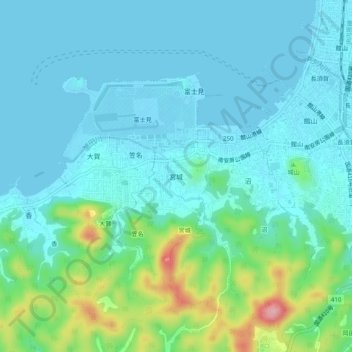
Name: 宮城 topographic map, elevation, terrain.
Location: 宮城, Tateyama, Préfecture de Chiba, 294-0033, Japon (34.96031 139.81892 35.00031 139.85892)
Average elevation: 92 ft
Minimum elevation: 0 ft
Maximum elevation: 482 ft