
Oued Sidi Zarzour topographic map
Interactive map
Click on the map to display elevation.
About this map
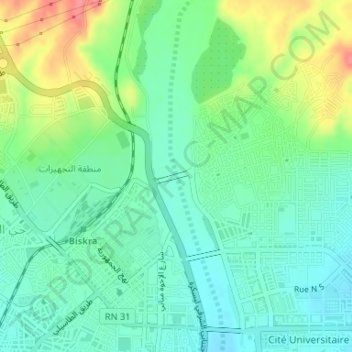
Name: Oued Sidi Zarzour topographic map, elevation, terrain.
Location: Oued Sidi Zarzour, Biskra, Daïra Biskra, Biskra, 0700, Algérie (34.86363 5.73393 34.86391 5.73403)
Average elevation: 430 ft
Minimum elevation: 351 ft
Maximum elevation: 597 ft
Other topographic maps
Click on a map to view its topography, its elevation and its terrain.