
Wierden topographic map
Interactive map
Click on the map to display elevation.
About this map
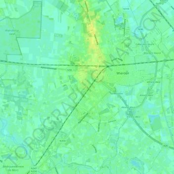
Name: Wierden topographic map, elevation, terrain.
Location: Wierden, Overijssel, Niederlande (52.31546 6.49552 52.38879 6.61557)
Average elevation: 36 ft
Minimum elevation: 16 ft
Maximum elevation: 75 ft