
Nabadwip topographic map
Interactive map
Click on the map to display elevation.
About this map
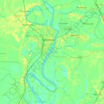
Name: Nabadwip topographic map, elevation, terrain.
Location: Nabadwip, Nadia, West Bengal, India (23.30452 88.32830 23.47285 88.46423)
Average elevation: 36 ft
Minimum elevation: 7 ft
Maximum elevation: 82 ft
Other topographic maps
Click on a map to view its topography, its elevation and its terrain.
Mayapur
India > West Bengal > Nabadwip
Mayapur, Nabadwip, Nadia, West Bengal, 741313, India
Average elevation: 33 ft