
Beez topographic map
Interactive map
Click on the map to display elevation.
About this map
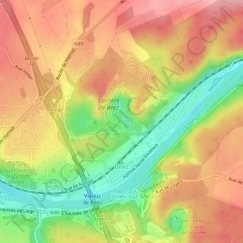
Name: Beez topographic map, elevation, terrain.
Location: Beez, Namen, Wallonië, 5000, België (50.46410 4.90151 50.48328 4.94386)
Average elevation: 440 ft
Minimum elevation: 203 ft
Maximum elevation: 620 ft
Other topographic maps
Click on a map to view its topography, its elevation and its terrain.
Île de Dave
Île de Dave, Promenade de Meuse, Namur, Profondeville, Namen, Wallonië, 5100, België
Average elevation: 453 ft
Saint-Servais
Saint-Servais, Namen, Wallonië, 5002, België
Average elevation: 453 ft
Gelbressée
Gelbressée, Namen, Wallonië, 5024, België
Average elevation: 577 ft