
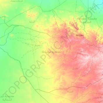
مطماطة topographic map
Interactive map
Click on the map to display elevation.
About this map
Name: مطماطة topographic map, elevation, terrain.
Location: مطماطة, Gabès, 6070, Tunisia (33.26988 9.48828 33.66289 10.07872)
Average elevation: 863 ft
Minimum elevation: 233 ft
Maximum elevation: 1,972 ft
Other topographic maps
Click on a map to view its topography, its elevation and its terrain.