
Liure topographic map
Interactive map
Click on the map to display elevation.
About this map
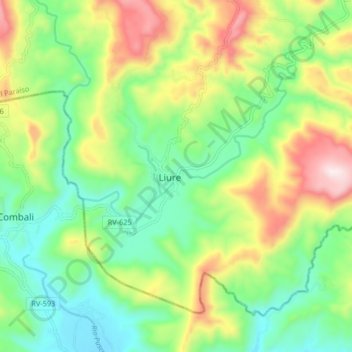
Name: Liure topographic map, elevation, terrain.
Location: Liure, El Paraíso, Honduras (13.49318 -87.12688 13.57318 -87.04688)
Average elevation: 1,115 ft
Minimum elevation: 381 ft
Maximum elevation: 2,418 ft