
Ban Nong Bua topographic map
Interactive map
Click on the map to display elevation.
About this map
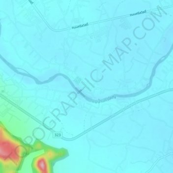
Name: Ban Nong Bua topographic map, elevation, terrain.
Location: Ban Nong Bua, Kanchanaburi Province, Thailand (14.04001 99.42713 14.08001 99.46713)
Average elevation: 148 ft
Minimum elevation: 92 ft
Maximum elevation: 715 ft