
Huara topographic map
Interactive map
Click on the map to display elevation.
About this map
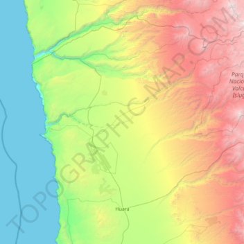
Name: Huara topographic map, elevation, terrain.
Location: Huara, Provincia del Tamarugal, Tarapacá Region, Chile (-20.10288 -70.28622 -18.96648 -68.90793)
Average elevation: 5,358 ft
Minimum elevation: 0 ft
Maximum elevation: 18,163 ft