
Secretary topographic map
Interactive map
Click on the map to display elevation.
About this map
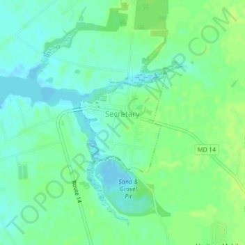
Name: Secretary topographic map, elevation, terrain.
Location: Secretary, Dorchester County, Maryland, 21664, USA (38.60281 -75.95357 38.61385 -75.94120)
Average elevation: 23 ft
Minimum elevation: -7 ft
Maximum elevation: 46 ft