
Dörnberg topographic map
Interactive map
Click on the map to display elevation.
About this map
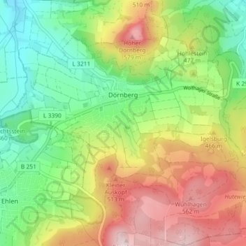
Name: Dörnberg topographic map, elevation, terrain.
Location: Dörnberg, Habichtswald, Landkreis Kassel, Hesse, Allemagne (51.31519 9.31281 51.35982 9.38198)
Average elevation: 1,348 ft
Minimum elevation: 869 ft
Maximum elevation: 2,008 ft